. . . your guide to visiting the holy places  
If you have found See the Holy Land helpful and would like to support our work, please make a secure donation.
The Sites

Israel and Palestine – In Jerusalem

Israel and Palestine – Outside Jerusalem

Jordan

Egypt

Extras

Bethany Beyond the Jordan

Jordan

The baptism of Jesus by John the Baptist, the act that launched Jesus’ public ministry, most likely took place on the Jordanian side of the Jordan River, in a perennial riverbed called the Wadi Al-Kharrar.

Bethany Beyond the Jordan

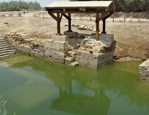
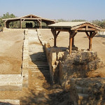
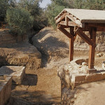
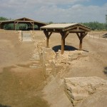
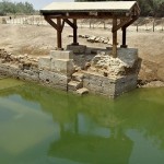
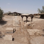
Shelter over remains of a church at the Baptism Site (Alicia Bramlett)

Here the remains of more than 20 Christian sites have been discovered, including several churches, a prayer hall, baptismal pools and a sophisticated water reticulation system. These date back to the Roman and Byzantine periods.

Excavations at Bethany Beyond the Jordan began only in 1996. Before then the area had been a minefield on the front line between Jordan and Israel, whose border is the Jordan River.

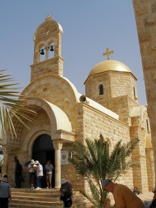
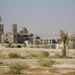
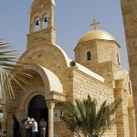
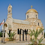
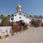
The 1994 peace treaty between Jordan and Israel prepared the way for access by archaeologists and church officials. Jordanian authorities have built a new road, a visitors’ centre and walkways. Several Christian denominations have built churches, the most prominent being the gold-domed Greek Orthodox Church of St John the Baptist.

The baptismal site of Bethany Beyond the Jordan (John 1:28) is near the southern end of the Jordan River, across from Jericho and 8 kilometres south of the King Hussein (or Allenby) Bridge. It is 40 minutes by car from the Jordanian capital of Amman.

It should not be confused with the Bethany on the eastern slope of the Mount of Olives, near Jerusalem, where Jesus raised Lazarus from the dead.


Stream flows from oasis

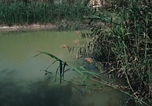
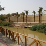
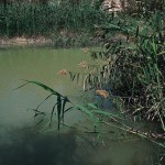
At the head of the Wadi Kharrar, springs emerge from the barren landscape to create a small oasis of tamarisk and palm trees, reeds, grasses and shrubbery. From here the Wadi Kharrar stream flows eastward to the Jordan River, its 2-kilometre route flanked by thick vegetation and identified by the murmur of running water.

Bethany Beyond the Jordan

Lush vegetation beside the Jordan River (© Visitjordan.com)

The fresh water of the Wadi Kharrar stream would have been more suitable for baptisms than the murkier Jordan River, which in John the Baptist’s time was also subject to heavy seasonal flooding.

The area adjacent to the baptismal site of Bethany Beyond the Jordan (called Al-Maghtas in Arabic) has many other biblical associations.

Near here, it is believed, Joshua led the Israelites across the Jordan River to the Promised Land after the waters miraculously stopped flowing (Joshua 3:14-16).

Elijah — a prophet who is often associated with John the Baptist — also crossed the Jordan River on dry ground in this area, and was then taken up to heaven in a chariot of fire (2 Kings 2:8-11).

In the New Testament, Jesus withdrew to Bethany Beyond the Jordan after being threatened with stoning in Jerusalem (John 10:31-40).

Early Christian pilgrims visited Bethany Beyond the Jordan on a route that went from Jerusalem to Jericho, across the Jordan River and then to Mount Nebo.


Precise spot is unknown

Bethany Beyond the Jordan

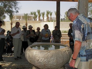
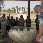
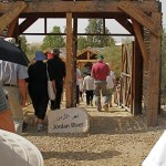
Pilgrims renew baptismal promises around a font of water from the Jordan River (Seetheholyland.net)

John the Baptist “went into all the region around the Jordan, proclaiming a baptism of repentance for the forgiveness of sins” (Luke 3:3). The Jordan River has changed course over the centuries and the precise spot where John baptised Jesus will probably never be positively identified.

All four Gospel writers mention Jesus’ baptism, but only John specifies the location as Bethany Beyond the Jordan. Documentary evidence favours identifying this location as Wadi Al-Kharrar or Al-Maghtas.

Not all scholars accept this identification. Some prefer a location north of the Sea of Galilee, by the Yarmouk River, where Elijah, hiding from the wrath of King Ahab, is believed to have been fed by a raven (1 Kings 17:2-6).

Identification was made more difficult by the Christian scholar Origen, who lived in Palestine in the 3rd century. Unaware of any Bethany on the east side of the Jordan River, he suggested the placename in John’s Gospel should be Bethabara (which was on the west of the river). Some New Testament translators followed his suggestion. It even appears in the King James Version of the Bible.

Jesus’ baptism is also commemorated on the western bank of the Jordan River, at a site in Israel called Qasr Al-Yahud (see below).


Church was built on arches

Pilgrims as far back as 333 described visits to the baptism site of Bethany Beyond the Jordan. An account in 530 said it was marked by a marble pillar on which an iron cross had been fastened.

The 6th-century pilgrim Theodosius described a church built there by the Byzantine emperor Anastasius I. He said this square-shaped church was built on high arches to allow flood waters to pass underneath. Archaeologists believe they have uncovered remains of the piers on which the church was built.

Later pilgrims referred to a small church said to have been built “on the place where the Lord’s clothes were placed”.

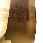
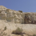
The Wadi Al-Kharrar was also the centre of an active monastic life. Hermits lived in caves carved into the soft limestone, gathering weekly for a common liturgy.

A monastery with four churches developed between the 4th and 6th centuries on Tell Mar Elias (St Elijah Hill), just above the springs that feed the stream. A hostel between the monastery and the river provided lodging for pilgrims, who would immerse themselves in the waters.

The baptismal site was particularly revered by Russian pilgrims prior to the Russian Revolution of 1917. They would arrive carrying their shrouds which they would wear as they baptised each other in the river.


One church was built around a cave

In an area of several square kilometres, now called the Baptism Archaeological Park, the Jordanian Department of Antiquities has surveyed, excavated and conserved a series of ancient remains.

Bethany Beyond the Jordan

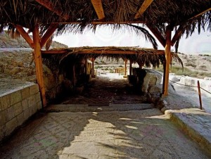
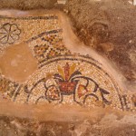
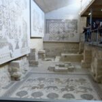
Mosaics from a church floor (© Visitjordan.com)

These include a walled monastery containing at least four churches and chapels, a prayer hall, a sophisticated water reticulation and storage system and three plastered pools. The wall was intended to prevent erosion, rather than protect against attack.

The discoveries include remains of foundations and walls, mosaic floors, fine coloured stone pavements, Corinthian capitals, column drums and bases, and hermits’ cells and caves.

One of the churches appears to have been built around a natural cave containing fresh spring water — possibly the cave that Byzantine pilgrims called “the cave of John the Baptist”.

The development of facilities for pilgrims has been encouraged by the Jordanian royal family. These facilities include a new road from the Dead Sea area, a visitors’ centre, and paths and walkways to the most important religious and archaeological sites.

In 2015 Bethany Beyond the Jordan was designated a World Heritage site.


Commemoration moved to western bank

Bethany Beyond the Jordan

Greek Orthodox Church of St John the Baptist at Bethany Beyond the Jordan (Seetheholyland.net)

The religious sites in the Wadi Al-Kharrar area were gradually abandoned from the time of the Muslim conquest, in the middle of the 7th century. Pilgrims from Jerusalem no longer ventured across the Jordan River, so they commemorated the baptism of Jesus near Qasr Al-Yehud on the western bank.

This site is marked by the large medieval-era Greek Orthodox Monastery of St John the Baptist, built on Byzantine ruins and clearly visible from across the river.

Access to the area around Qasr Al-Yehud has also been difficult in modern times. From 1967 until 1994 it was also in a military zone and heavily mined. It was open only twice a year for pilgrims celebrating their feasts of the baptism of Christ, in January for the Orthodox and October for the Catholics. In 2011 it was opened to the public.

By the end of 2018, access to three of the seven monasteries in the area — Greek Orthodox, Ethiopian and Franciscan (Catholic) — had been cleared of mines.

While Qasr Al-Yehud was inaccessible, the long-established Kibbutz Kinneret began running a substitute site at Yardenit, near the southern end of the Sea of Galilee, with modern facilities and shady eucalyptus trees. It has been receiving more than half a million visitors a year, many receiving baptism or renewing their baptismal promises in the Jordan River.


In Scripture:

Elijah is taken up to heaven: 2 Kings 2:1-14

The preaching of John the Baptist: Luke 3:2-14

John baptises Jesus: Matthew 3:13-17; Mark 1:9-11; Luke 3:21-22; John 1:29-34

The witness of John the Baptist: John 1:19-28

Jesus retreats beyond the Jordan for safety: John 10:40


Administered by:

Department of Antiquities of Jordan; Jordan Valley Authority; Greek Orthodox Church

Tel.: 962-5-3590360

Open: Winter 8am-4pm (last entry 3pm); summer 8am-6pm (last entry 5pm)


References


Beitzel, Barry J.: Biblica, The Bible Atlas: A Social and Historical Journey Through the Lands of the Bible (Global Book Publishing, 2007)
Fletcher, Elaine Ruth: “Searching for the site of Jesus’ Baptism”, Religion News Service, January 1, 2000
Freeman-Grenville, G. S. P.: The Holy Land: A Pilgrim’s Guide to Israel, Jordan and the Sinai (Continuum Publishing, 1996)
Gonen, Rivka: Biblical Holy Places: An illustrated guide (Collier Macmillan, 1987)
Khouri, Rami: “Where John Baptized: Bethany Beyond the Jordan”, in Exploring Jordan: The Other Biblical Land (Biblical Archaeological Society, 2008)
Laney, J. Carl: “The Identification of Bethany Beyond the Jordan”, from Selective Geographical Problems in the Life of Christ, doctoral dissertation (Dallas Theological Seminary, 1977)
Lazaroff, Tovah: “Israel clears landmines from seven monasteries by Jesus’ Baptismal site”, Jerusalem Post, December 9, 2018
Miller, Charles: “Bethany Beyond the Jordan” (CNEWA World, January 2002)
Pixner, Bargil: With Jesus Through Galilee According to the Fifth Gospel (Corazin Publishing, 1992)
Rainey, Anson F., and Notley, R. Steven: The Sacred Bridge: Carta’s Atlas of the Biblical World (Carta, 2006)
Walker, Peter: In the Steps of Jesus (Zondervan, 2006)
Wooding, Dan: “Thousands visit Bethany Beyond the Jordan”, Assist News Service, January 15, 2007


External links

The Baptism Site of Jesus Christ (official site)
Baptism Site: Bethany-beyond-the-Jordan (Sacred Destinations)
Bethabara (Wikipedia)
« Newer PostsOlder Posts »

Bethany

West Bank

The little village of Bethany, on the eastern slope of the Mount of Olives about 3km from Jerusalem, was a favourite place of rest and refuge for Jesus.

Bethany

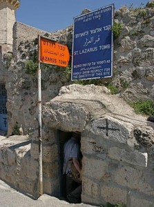
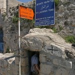
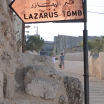
Entrance to the Tomb of Lazarus (Seetheholyland.net)

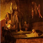
Here he knew the intimacy and friendship of his friends Martha, Mary and Lazarus. And here, in the cemetery just below the village, he raised Lazarus from the dead.

When Lazarus was dying, as John’s Gospel (11:1-44) recounts, his sisters sent for Jesus. But Jesus delayed his arrival until four days after Lazarus had been buried, “so that the Son of God may be glorified”.

Arriving at the tomb, Jesus called: “Lazarus, come out!” To the amazement of mourners who had witnessed the burial, the dead man walked out. This miracle confirmed the determination of the religious leaders in Jerusalem to have Jesus put to death.

Bethany (not to be confused with Bethany Beyond the Jordan, where Christ was baptised) is also associated with two other events:

• While Christ was visiting his friends’ home, Martha complained that her sister Mary, sitting at the Lord’s feet and listening to him, had left all the work to her. Christ replied: “Mary has chosen the better part, which will not be taken away from her”. (Luke 10:38-42)

• At dinner in the house of Simon the Leper, a week before the crucifixion, Mary took a jar of expensive ointment and poured it over Christ’s feet — an act he saw as the anointing of his body for burial. (John 12:1-8).


Pilgrims since early centuries

Bethany

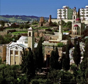
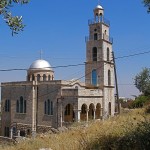
View of Bethany, with, from left, the Catholic Church of St Lazarus, the Al-Ozir Mosque and the Greek Orthodox church (© Welcometohosanna.com)

The present Arab village, on the south-eastern slope of the Mount of Olives, is called Al-Azariyeh, an Arabic version of Lazarus. The original village was probably higher up the hill to the west of the tomb of Lazarus.

The Franciscan Albert Storme says the reason why pilgrims have been drawn to this place is not based on “some ‘casual’ wonder. In their eyes, Lazarus’ resurrection prefigured that of Christ, and heralded their own return from the grave.”

Christian churches have been built here since the early centuries. In AD 333, the Anonymous Pilgrim of Bordeaux reported seeing “the crypt where Lazarus had been laid to rest”.

By the 14th century the churches were in ruins and the original entrance to the tomb had been turned into a mosque. In the 16th century the Franciscans cut through the soft rock to create the present entrance.


27 steps to burial chamber

Bethany

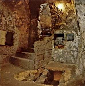
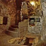
Inside the Tomb of Lazarus, with the burial chamber at lower right (© Welcometohosanna.com)

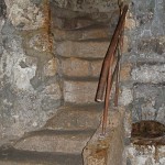
Today’s pilgrims enter from the street down a flight of 24 well-worn and uneven steps to a vestibule. Three more steps lead to the burial chamber, little more than 2 metres long. Tradition says Jesus stood in the vestibule to call Lazarus from the grave.

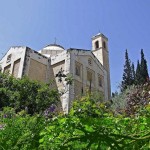
The present Catholic church, with mosaics depicting the events that occurred here, was built in 1954. Architect Antonio Barluzzi contrasted the sadness of death with the joy of resurrection by designing a crypt-like, windowless church, into which light floods from the large oculus in its dome.

A Greek Orthodox church, dedicated to Simon the Leper, is to the west of the tomb.

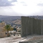
Since 2005 Bethany, in the West Bank, has been cut off from Jerusalem by Israel’s separation wall. The wall actually cuts across the main street, making a serious impact on the live of residents and on the town’s economy.

What used to be a 10-minute drive from the Mount of Olives to Bethany now requires a lengthy detour, so the Tomb of Lazarus has become isolated from the normal pilgrim and tourist route.

In Scripture:

Jesus raises Lazarus to life: John 11:1-44

Jesus visits Martha and Mary: Luke 10:38-42

The anointing at Bethany: John 12:1-8


Administered by: Franciscan Custody of the Holy Land

Tel.: 972-2-2799291

Open: Apr-Sep 8-11.25am, 2-6pm, Oct-Mar 8-11.25am, 2-5pm


References

Murphy-O’Connor, Jerome: The Holy Land: An Oxford Archaeological Guide from Earliest Times to 1700 (Oxford University Press, 2005)
Wareham, Norman, and Gill, Jill: Every Pilgrim’s Guide to the Holy Land (Canterbury Press, 1996)
Storme, Albert: “Bethany”, Holy Land, Winter 2000 and Summer 2003


External links
Bethany (Custodia Terrae Sanctae)
Traces of history in Bethany, where Lazarus was resurrected (Custodia Terrae Sanctae)
The tomb of Lazarus in Bethany over the centuries (Associazione pro Terra Sancta)
« Newer PostsOlder Posts »

Baha’i Shrine

Israel

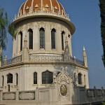
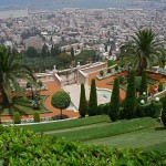
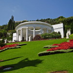
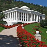
A golden dome, marble walls, granite pillars and manicured gardens cascading down a slope of Mount Carmel make the Baha’i Shrine in Haifa a spectacularly colourful attraction for visitors.

Baha'i Shrine

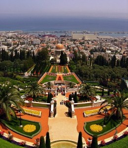
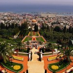
Terraces gardens leading down to the Shrine of the Bab (Ron Almog)

The shrine is the world headquarters of the Baha’i faith, a monotheistic religion committed to the unity of humanity and the fundamental oneness of all religions.

The shrine, built in 1953, contains the remains of Siyyid Al Muhammad (1819-50). Known as the Bab, he is revered as the prophet-herald of the Baha’i faith.

The shrine’s nine sides represent the nine major religions of the world. Its dome is covered with 14,000 gold-coated bricks.

Around the shrine are several other buildings of classical design, including the Universal House of Justice, the seat of the Baha’i governing body.

The shrine and its elaborate gardens are an important place of pilgrimage for Baha’is, who number more than 5 million worldwide. They also attract many tourists.


Design inspired by doctrines

Baha'i Shrine

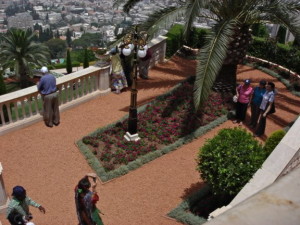
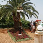
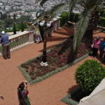
Gardens at the entrance to the Baha’i Shrine (Trish Vaughan / Seetheholyland.net)

The terraced gardens surrounding the shrine were designed by Iranian architect Fariborz Sahba and inspired by doctrines of the Baha’i faith. They are often called the Hanging Gardens of Haifa.

There are 19 terraces, one for the Shrine of the Bab and the remainder representing the Bab’s first 18 disciples.

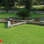
The gardens are designed in nine concentric circles resembling waves extending out from the shrine. They include works of stone and metal as well as fountains, shrubbery and expansive lawns.

The irrigation system is computer-controlled. The computer operates hundreds of valves to distribute water throughout the gardens by sprinkling and dripping, based on meteorologic data it receives. The irrigating is done at night and in the early morning, to avoid wasting water by evaporation.


Remains brought secretly to Israel

Siyyid Al Muhammad, whose remains are in the Baha’i Shrine, is regarded as the forerunner of the Baha’i faith. In 1844 he proclaimed the imminent arrival of the Promised One, a messianic figure expected by Shi’a Muslims in Persia, and he became known as the Bab (the “Gate” in Arabic).

Baha'i Shrine

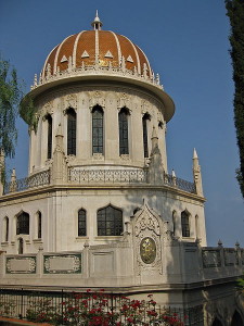
Shrine of the Bab (© Deror Avi)

He and his followers were persecuted and the Bab himself was executed by a firing squad in 1850. His remains were later brought secretly to Israel and were interred in the Mount Carmel shrine.

The Baha’i faith was founded by the Bab’s chief follower, Mizra Hussein Ali, who in 1863 claimed to be the Promised One. He became known as Bahá’u’lláh (“Glory of God”).

Bahá’u’lláh’s insistence that diversity of religion should cease and differences of race be annulled inevitably provoked violent opposition. He was expelled from Tehran and in 1868 the Ottoman penal colony of Akko (now Acre) became his final place of exile. He died there in 1892.

Baha’is believe in one God and emphasise the spiritual unity of all humankind. They see Abraham, Jesus, the Buddha and Muhammad as messengers whose teachings were fulfilled by Bahá’u’lláh’s life and work.

Beautiful gardens also surround the grave of Baha’u’llah at Bahji, just north of Acre (Akko).


Other sites in the area:

Mount Carmel

Stella Maris Monastery

Elijah’s Cave


Administered by: Baha’i International Community


Phone: 972-4-8313131

Open: Shrine 9am-noon; gardens, 9am-5pm daily. Entry is free.


References

Inman, Nick, and McDonald, Ferdie (eds): Jerusalem & the Holy Land (Eyewitness Travel Guide, Dorling Kindersley, 2007)
Murphy-O’Connor, Jerome: The Holy Land: An Oxford Archaeological Guide from Earliest Times to 1700 (Oxford University Press, 2005)


External link

The Baha’i Gardens (Baha’i International Community)
« Newer PostsOlder Posts »

Al-Aqsa Mosque

Jerusalem

Al-Aqsa Mosque

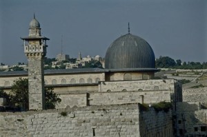
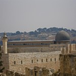
Al-Aqsa Mosque (© Israel Ministry of Tourism)

The Al-Aqsa Mosque, originally constructed about 20 years after the nearby Dome of the Rock, is Jerusalem’s biggest mosque.

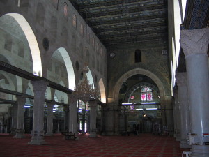
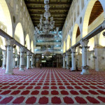
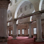
Its spacious interior, divided by columns into seven aisles, allows room for more than 4000 Muslims to prostrate themselves on the carpeted floor during worship.

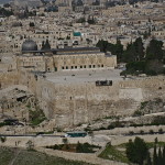
Actually the whole area of the Temple Mount, known to Muslims as Haram esh-Sharif or the Noble Sanctuary, including all its minor domes, chapels and colonnades, is regarded as a mosque. It is Islam’s third holiest site (after Mecca and Medina).

The whole compound contains more than 14 hectares of buildings, fountains, gardens and domes.

It comprises nearly one-sixth of the walled Old City of Jerusalem and can accommodate hundreds of thousands of worshippers.

The name Al-Aqsa Mosque (also spelt El-Aksa) translates to “the farthest mosque”, a description relating to Muhammad’s Night Journey from Mecca to Jerusalem and back.

On site of Solomon’s Temple

Al-Aqsa Mosque

Inside Al-Aqsa Mosque (Eric Stoltz)

The mosque building was begun in the early 8th century and has been reconstructed many times. The lead-covered dome dates from the 11th century.

The Temple Mount is the site of the first Jewish Temple, built by Solomon. It is also the location of a 6th-century Christian church dedicated to the Virgin Mary, which was burned by the Persians in 614. The original mosque possibly converted the remains of this church.

During the 12th century the Crusaders used the mosque first as their royal palace, then as the headquarters of the new Knights Templar. One of the mosque’s many rooms still has the medieval rose window it had when it was a Crusader chapel.

The vast hall, 82 metres by 55 metres, has seven rows of columns (donated by the Italian dictator Benito Mussolini during a 20th-century restoration).

There is no seating; the congregation sits and prostrates on the expensively carpeted floor. (As in all mosques, visitors must remove their footwear — not as a sign of respect, but to protect the carpet.)

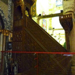
Behind the minbar or pulpit is a rock, originally in the Dome of the Ascension, which supposedly bears the left footprint of Jesus.

Mihrab shows the direction of Mecca

Al-Aqsa Mosque

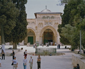
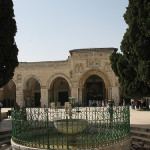
Forecourt of Al-Aqsa Mosque © (Israel Ministry of Tourism)

The southern wall, one of the few remnants of the original mosque, has a mihrab (niche) oriented towards Mecca, Islam’s holy city. Near the mihrab is a small mosque, known as the Mosque of Omar (a name that is also erroneously given to the nearby Dome of the Rock).

Under the mosque is a large subterranean hall. It leads to one of the original entrance passages to the Temple Mount during the period of the Second Temple.

In the courtyard on the extreme south-west is a large building, formerly known as the Mosque of the Moors, which contains the Islamic Museum.

In 1969 an Australian tourist, Michael Dennis Rohan, attempted to burn the Al-Aqsa Mosque. The fire gutted the south-eastern wing, destroying a 1000-year-old pulpit given by the 12th-century sultan Saladin.

Rohan, a member of an evangelical Protestant sect, said he hoped to hasten the coming of the Messiah by having the Jewish Temple rebuilt on the site. He was found to be insane and deported.


Administered by: Islamic Waqf Foundation

Tel.: 972-2-6226250

Open: Non-Muslims are permitted to enter the Temple Mount through the Bab Al-Maghariba (Moors’ Gate), reached through a covered walkway from the Western Wall plaza, during restricted hours. These are usually 7.30-11am and 1.30-2.30pm (closed Fridays and on religious holidays), but can change. Modest dress is required. Non-Muslims are not normally allowed into the Al Aqsa Mosque or Dome of the Rock. Non-Muslim prayer on the Temple Mount is not permitted.

Related site:

Dome of the Rock


References


Brownrigg, Ronald: Come, See the Place: A Pilgrim Guide to the Holy Land (Hodder and Stoughton, 1985)
Inman, Nick, and McDonald, Ferdie (eds): Jerusalem & the Holy Land (Eyewitness Travel Guide, Dorling Kindersley, 2007).
Fortescue, Adrian: “Jerusalem (AD 71-1099)”, The Catholic Encyclopedia (Robert Appleton Company, 1910).
Gonen, Rivka: Biblical Holy Places: An illustrated guide (Collier Macmillan, 1987)
Murphy-O’Connor, Jerome: The Holy Land: An Oxford Archaeological Guide from Earliest Times to 1700 (Oxford University Press, 2005)


External links
Noble Sanctuary: Al-Aqsa Mosque
« Newer PostsOlder Posts »

Acre

Israel

Acre

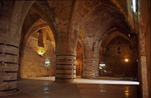
St John’s Crypt in the Crusaders’ Hospitaller Quarter at Acre (© Israel Ministry of Tourism)

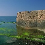
Because Acre, 22 kilometres north of Haifa, had the best natural harbour on the coast of the Holy Land, it achieved importance from early times.

But its role as the main stronghold of the Crusaders made the most lasting impression on its long and chequered history.

Before the Crusaders took Acre in 1104, the city had been captured by Egyptians, Phoenicians, Persians, Greeks and Muslims. Its name had been expressed as Acre, Akko, Acco or Accho.

It was King Ptolemy of Egypt who called it Ptolemais, the name mentioned by St Luke (Acts 21:7) when he and St Paul visited it at the end of Paul’s third missionary journey around AD 58.

By then a Christian community was already established. Christianity spread rapidly in the city and by AD 190 it had a bishop.


Crusaders made Acre their capital

By the 11th century, Muslim forces were oppressing Palestine’s Christians and harassing pilgrims, so the Emperor of Constantinople appealed to Pope Urban II for armies to aid the Christians.

Acre

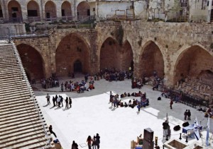
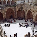
Courtyard of the Hospitaller Quarter in Acre (© Israel Ministry of Tourism)

The Pope called for a Crusade from Europe to wrest the Holy Land, in particular the Holy Sepulchre in Jerusalem, from Muslim control.

The Crusaders captured Acre in 1104. They made it their capital and the main link between their Latin kingdom and Europe. They also gave it another name, St Jean d’Acre, in honour of the Knights Hospitallers of St John of Jerusalem.

In 1187 Acre fell again to Muslims after the Kurdish general Saladin finally ended the Crusader kingdom at the battle of the Horns of Hattin, overlooking the Sea of Galilee.

In 1191 Richard the Lionheart of England and Philip Augustus of France took Acre back. The Crusaders held the city until 1291, when Mamluk forces penetrated its massive fortifications.

Acre was almost totally destroyed and lay in ruins for 450 years.

Remains of Crusader city can be seen

Acre

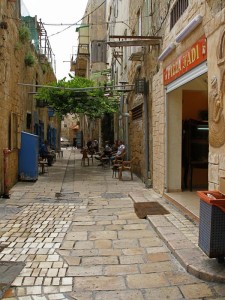
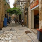
Street scene in old Acre (Seetheholyland.net)

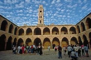
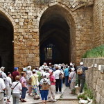
Among Acre’s bewildering network of narrow streets, today’s visitors can see much of the old Crusader city. The extensive remains are sometimes referred to as the “Underground City” because they lie well below street level.

The most important edifice is the great refectory hall of the Knights Hospitallers of St John, a chivalrous order concerned with the health and spiritual welfare of pilgrims. It is a fine example of Crusader architecture.

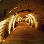
A pit in the hall gives access to an underground passage (perhaps originally a sewer from well before the time of Christ) which the Crusaders discovered and maintained.

There are also Gothic knights’ halls (not all open to the public), each belonging to one of the nations represented in the crusading Order of the Knights Hospitallers: Auvergne, England, France, Germany, Provence and Spain.


St Francis and Marco Polo visited

After the Crusader kingdom collapsed, St Francis of Assisi arrived at Acre in 1219. He had gone to Egypt with the Fifth Crusade and walked into a Muslim camp. His peace-loving nature impressed the sultan, Melek-el-Kamel, who allowed him to visit the holy places, then off limits to Christians. Today many of these sites are maintained by the Franciscan Custody of the Holy Land.

Acre

Khan al-Umdan (Inn of the Pillars) at Acre (© Israel Ministry of Tourism)

The Venetian traveller Marco Polo was a later visitor. He made Acre the staging point for his great journey to the Orient.

In the second half of the 18th century, Acre became ruled by a local Arab sheik and then by a harsh Albanian soldier of fortune, Ahmed Pasha, who became known as “al-Jazzar” (the Butcher). The walls were built at this time and they resisted a 60-day siege by Napoleon in 1799.

The present Acre is largely an 18th-century Turkish town built on the ruins of the old city, and almost surrounded by Jewish suburbs.

Above the Crusader town stands the dominant landmark of Ahmed Pasha’s domed mosque, known especially for its beautiful courtyard.

Acre’s old city has been designated a UNESCO World Heritage Site and many archaeological digs have taken place there. Large-scale renovations and rebuilding have taken place, and slick audio-visuals introduced to present the history of the impressive remains to tourists.

In Scripture:

Paul arrives at Ptolemais: Acts 21:7


References

Brownrigg, Ronald: Come, See the Place: A Pilgrim Guide to the Holy Land (Hodder and Stoughton, 1985)
Freeman-Grenville, G. S. P.: The Holy Land: A Pilgrim’s Guide to Israel, Jordan and the Sinai (Continuum Publishing, 1996)
Gonen, Rivka: Biblical Holy Places: An illustrated guide (Collier Macmillan, 1987)
Inman, Nick, and McDonald, Ferdie (eds): Jerusalem & the Holy Land (Eyewitness Travel Guide, Dorling Kindersley, 2007).
Murphy-O’Connor, Jerome: The Holy Land: An Oxford Archaeological Guide from Earliest Times to 1700 (Oxford University Press, 2005)
Wareham, Norman, and Gill, Jill: Every Pilgrim’s Guide to the Holy Land (Canterbury Press, 1996)

External links:

Acre (Custodia Terrae Sanctae)
Acre (Akko) (BibleWalks)
Acco, Ptolemais, Acre (BiblePlaces)
Akko (Israel Ministry of Foreign Affairs)
« Newer PostsOlder Posts »

Western Wall

Jerusalem

Western Wall

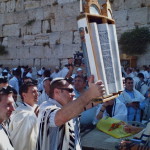
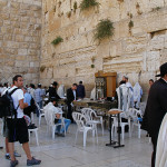
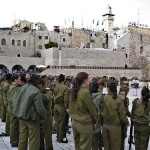
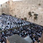
Jews and visitors at the Western Wall in Jerusalem (Seetheholyland.net)

Judaism’s holiest place is the Western Wall in the Old City of Jerusalem. Part of the retaining wall erected by Herod the Great in 20 BC to support the vast plaza on which he rebuilt the Temple, it is venerated as the sole remnant of the Temple.

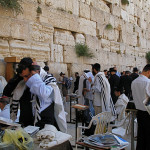
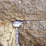
The wall and the plaza in front of it form a permanent place of worship, a site of pilgrimage for Jews and a focus of prayer — often petitions written down and placed between the huge stones. The Jewish name for the wall is the Kotel.

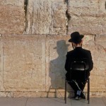
Orthodox Jewish men, fully bearded and garbed in black, bowing their heads as they read and pray from the Torah, are a common sight.

It is also the place where Jews down the ages have expressed their grief over the destruction of the Temple, their anguish giving the wall another name — the Wailing Wall.

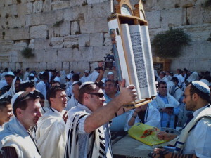
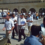
But the wall is also a place for celebrations, especially of Bar and Bat Mitzvahs (coming-of-age ceremonies for Jewish sons and daughters).


Stones weigh up to eight tons

In the exposed part of the Western Wall today, the seven lowest layers of stones are from Herod’s construction. Most of these stones weigh between two and eight tons.

Western Wall

Celebrating bar mitzvah at the Western Wall (Margaret O’Sullivan / Seetheholyland.net)

Above these are stones placed in later centuries, replacing those forced out when the Romans put down a Jewish revolt by sacking Jerusalem and destroying the Temple in AD 70.

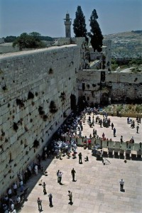
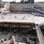
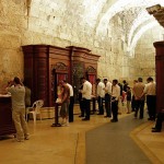
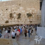
The prayer area in front of the wall is divided into separate sections for men and women.

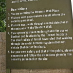
Men and married women who approach the wall are expected to have their heads covered. A kippah (skullcap) is provided free of charge. Cameras and electronic devices are forbidden on Saturdays.

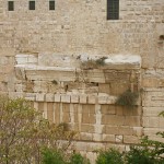
To the right of the plaza, near the southern end of the Temple Mount, large stones jutting out of the wall are the remains of what is called Robinson’s Arch. This arch once supported a grand staircase to the Temple.


Valley was filled in

Western Wall

Divided prayer areas at the Western Wall (© Israel Ministry of Tourism)

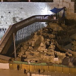
In the time of Christ a deep valley, spanned by bridges, ran beside the Western Wall and eight more levels of stones were visible. Through the centuries this valley, the Tyropoeon, has been progressively filled in with masonry and rubble.

Mark 13:1 recounts that one of Jesus’ disciples exclaimed to him as they left the Temple: “Look, Teacher, what large stones and what large buildings!” Jesus replied: “Not one stone will be left here upon another; all will be thrown down.”

The Western Wall was captured by Jordan during the 1948 Arab-Israeli War and recaptured by Israel during the 1967 Six-Day War.

Arab housing and mosques near the wall were immediately razed. In their place, today’s plaza was created, stretching from the wall to the Jewish Quarter.

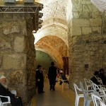
At the left end of the Western Wall is the entrance to a tunnel which allows visitors to walk along 500 metres of the extended wall, under buildings of the Old City. Sights include the biggest stone in the wall, estimated to weigh 570 tons.

In Scripture:

Solomon builds the Temple: 1 Kings 5-6

Jesus foretells the destruction of the Temple: Mark 13:1-8


Administered by: Western Wall Heritage Foundation

Tel.: 972-2-6271333

Open: All day, every day


References

Charlesworth, James H.: The Millennium Guide for Pilgrims to the Holy Land (BIBAL Press, 2000)
Inman, Nick, and McDonald, Ferdie (eds): Jerusalem & the Holy Land (Eyewitness Travel Guide, Dorling Kindersley, 2007).
Gonen, Rivka: Biblical Holy Places: An illustrated guide (Collier Macmillan, 1987)
Maier, Paul L. (trans.): Josephus: The Essential Writings (Kregel Publications, 1988)
McCormick, James R.: Jerusalem and the Holy Land (Rhodes & Eaton, 1997)
Murphy-O’Connor, Jerome: The Holy Land: An Oxford Archaeological Guide from Earliest Times to 1700 (Oxford University Press, 2005)
Wareham, Norman, and Gill, Jill: Every Pilgrim’s Guide to the Holy Land (Canterbury Press, 1996)

External links
Western Wall (Wikipedia)
Western Wall (BiblePlaces)
The Western Wall (Western Wall Heritage Foundation)
The Western Wall and its Tunnels (Israel Ministry of Foreign Affairs)
Wall Camera (Aish webcam)
« Newer PostsOlder Posts »

Gethsemane

Jerusalem

Gethsemane

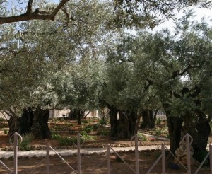
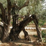
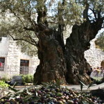
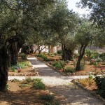
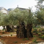
Old olive trees in the Garden of Gethsemane (© Tom Callinan / Seetheholyland.net)

The garden of Gethsemane, near the foot of the Mount of Olives, is named in the New Testament as the place where Jesus went with his disciples to pray the night before he was crucified.

The garden, about 1200 square metres in area, was well known to the disciples as it is close to the natural route from the Temple to the summit of the Mount of Olives and the ridge leading to Bethany.

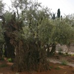
The name in Hebrew means “oil press”. Oil is still pressed from the fruit of eight ancient and gnarled olive trees that give the garden a timeless character.

Beside the garden is the Church of All Nations, built over the rock on which Jesus is believed to have prayed in agony before he was betrayed by Judas Iscariot and arrested.

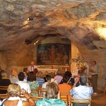
About 100 metres north of the church is the Grotto of Gethsemane, where Jesus and his disciples often camped at night. In this natural grotto, it is believed, the disciples slept while Jesus prayed.

Near the grotto is the Tomb of Mary, where a Christian tradition holds that the Mother of Jesus was buried after she “fell asleep” in death.


How old are the trees?

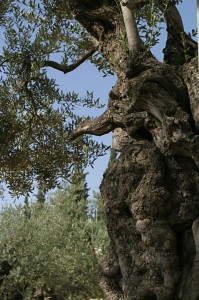
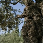
In the garden of Gethsemane, behind a fence of iron tracery with Byzantine motifs, stand the gnarled trunks of eight hoary olive trees. They create a spiritual atmosphere for visitors to the garden of Gethsemane, although the flower beds and paths around them introduce an artificial element.

Gethsemane

Gnarled trunk in the Garden of Gethsemane (© Tom Callinan / Seetheholyland.net)

The trees also generate conjecture about their age. Were they silent witnesses to the Agony of Jesus the night before he died?

Israel has many ancient olive trees. Two in the town of Arraba and five in Deir Hanna have been determined to be over 3000 years old.

The present Gethsemane trees, however, were not standing at the time of Christ. The historian Flavius Josephus reports that all the trees around Jerusalem were cut down by the Romans for their siege equipment before they captured the city in AD 70.

Research reported in 2012 showed that three of the eight ancient trees (the only ones on which it was technically possible to carry out the study) dated from the middle of the 12th century, and all eight originated as cuttings from a single parent tree.

Some of the Gethsemane olives are possibly descendants of those that were in the garden at the time of Christ. This is because when an olive tree is cut down, shoots will come back from the roots to create a new tree.

In 1982 the University of California carried out radiocarbon-dating tests on some root material from Gethsemane. The results indicated that some of the wood could be dated at 2300 years old.

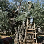
What happens to the fruit from the Gethsemane olive trees? When it is harvested each year, the oil is pressed for Gethsemane’s sanctuary lamps and the pits are used to make rosary beads, given by the Franciscan Custos of the Holy Land to notable pilgrims.


Grotto where the disciples slept

Access to the Grotto of Gethsemane is along a narrow walled passageway leading to the right from the open courtyard in front of the Tomb of Mary.

Gethsemane

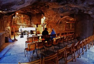
Grotto of Gethsemane (© Custodia Terrae Sanctae)

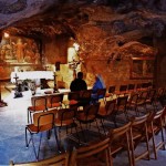
The natural grotto, about 190 square metres in area, is basically unchanged from the time of Jesus. It is believed to be where the disciples slept while Jesus prayed, and where Jesus was betrayed by Judas and arrested. It may also be the location of Jesus’ night-time meeting with Nicodemus (John 3:1-21).

Over the main altar is a representation of Jesus Praying among the Apostles, while the paintings over the side altars depict the Assumption of the Virgin and the Kiss of Judas.

On a more mundane level, bronze figures beneath the main altar depict two of the sleeping disciples.

The grotto is also known as the Cave of the Olive Press. To the right of the right-hand altar is a hole in the wall. It is just at the right height to hold one end of a wooden beam which, when weighted at the other end, pressed crushed olives piled in loosely woven baskets.

In the 4th century the grotto became a chapel. The floor was paved with white mosaic through which graves were subsequently dug. More than 40 graves, mainly from the 5th to 8th centuries, have been discovered.

The inscriptions on the wall have been interpreted in various ways. The line around the sanctuary seems to mean: “Here [in these representations]: The King sweated blood. Christ the Saviour frequented [this place with his apostles]. My Father, if it is your wish, let this chalice pass from me.”


Related site:

Church of All Nations


In Scripture:

Jesus prays in Gethsemane: Matthew 26:36-46; Mark 14:32-42; Luke 22:39-46; Mark 32-42

Jesus is arrested: Matthew 26:47-56; Mark 14:43-50; Luke 22:47-53; John 18:1-12


Administered by: Franciscan Custody of the Holy Land

Tel.: 972-2-6266444

Open: Church 8am-noon, 2-6pm (5pm Oct-Mar); Grotto 8.30am-noon, 2.30-5pm (3.40pm Sun and Thur)


References

Bar-Am, Aviva: Beyond the Walls: Churches of Jerusalem (Ahva Press, 1998)
Gonen, Rivka: Biblical Holy Places: An illustrated guide (Collier Macmillan, 1987)
Maier, Paul L. (trans.): Josephus: The Essential Writings (Kregel Publications, 1988)
Millgram, Abraham Ezra: Jerusalem Curiosities (Jewish Publication Society, 1990)
Murphy-O’Connor, Jerome: The Holy Land: An Oxford Archaeological Guide from Earliest Times to 1700 (Oxford University Press, 2005)
Dillon, Edward: “The Sanctuaries at Gethsemane”, Holy Land, spring 1998
Storme, Albert: Gethsemane (Franciscan Printing Press, 1970)
Wareham, Norman, and Gill, Jill: Every Pilgrim’s Guide to the Holy Land (Canterbury Press, 1996)


External links
Gethsemane (Custody of the Holy Land)
Olive (Wikipedia)
The Olive Trees of Gethsemane, results of scientific research published (Custody of the Holy Land)
« Newer PostsOlder Posts »

Dome of the Rock

Jerusalem

Dome of the Rock

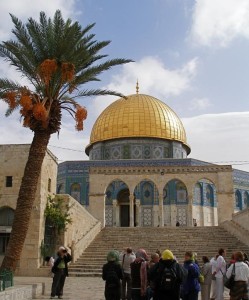
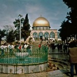
Temple Mount visitors at Dome of the Rock (Seetheholyland.net)

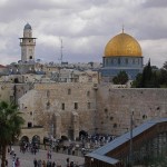
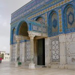
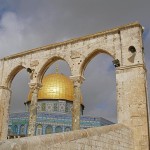
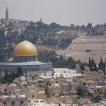
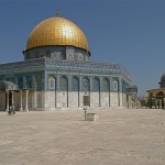
Jerusalem’s iconic symbol is the gleaming Dome of the Rock, whose golden roof has dominated the Temple Mount for centuries. This Islamic holy place stands on a site that is sacred to Jews, Christians and Muslims.

• To Jews, this is where Abraham, in a supreme act of faith, prepared to offer his son Isaac on Mount Moriah. It is also the place where the Temple once stood.

• To Christians it is where the baby Jesus was presented in the Temple; where he was found among the teachers as a 12-year-old; where he later prayed and taught — and drove the money-changers out of the Temple precincts. For most of the 12th century, when the Crusaders controlled Jerusalem, the Dome of the Rock was actually a Christian church.

• To Muslims the Dome covers the sacred rock where Muhammad prayed and went to paradise during his Night Journey from Mecca to Jerusalem and back to Mecca on the winged steed called Al-Burak.

The Dome of the Rock was the first major sanctuary built by Islam. Although it is sometimes erroneously called the Mosque of Omar (a companion of Muhammad) it is actually not a mosque but an adjunct to the nearby Al-Aqsa Mosque.


Ornamentation by Christian artists

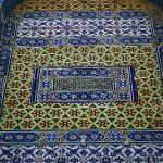
A building of extraordinarily harmonious proportions, the Dome of the Rock is 20 metres across and more than 35 metres high. It was commissioned by Caliph Abd al-Malik and completed in AD 691. Its rich ornamentation was the work of Syrian Christian artists.

Dome of the Rock

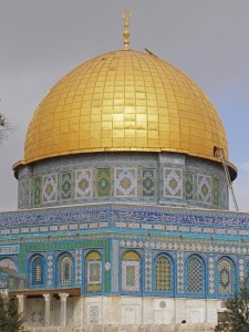
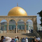
Close-up of Dome of the Rock (Seetheholyland.net)

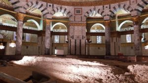
The roof is covered with gold-plated anodised aluminium. Inside, the sacred rock is protected by a 12th-century cedar wood screen. Crosses on some of the columns show that they were taken from churches. A high reliquary beside the rock is believed to contain a hair of Muhammad’s beard.

On the southern side of the rock, steps lead down to an ancient cave, known as the Well of Souls, to which many Jewish and Islamic legends are attached. The Crusaders used the cave as a confessional.

Current Arab tradition suggests that Caliph Abd al-Malik built the Dome to commemorate Muhammad’s Night Journey and ascension to paradise.

Older sources indicate that the caliph’s purpose was two-fold: 1) to emphasise the superior truth of Islam over both Judaism and Christianity; 2) to outshine the splendour of Christian churches.

A 10th-century account says he was concerned that the Church of the Holy Sepulchre might “dazzle the minds of Muslims”. The dimensions of the iconic golden dome match those of the Holy Sepulchre’s dome.


Challenge to Christians

The Dome’s “founding inscription” runs for 240 metres in a single line of Kufic script (the oldest Arabic writing in existence) along the top of both sides of the inner octagonal arcade.

The sacred rock inside the dome (© Marie-Armelle Beaulieu)

The sacred rock inside the dome (© Marie-Armelle Beaulieu)

In a clear challenge to the Christian belief in the Trinity and the divinity of Jesus, it says:

“O you People of the Book, overstep not bounds in your religion, and of God speak only the truth. The Messiah, Jesus, son of Mary, is only an apostle of God . . . . Believe therefore in God and his apostles, and say not ‘Three’. It will be better for you. God is only one God. Far be it from his glory that he should have a son.”

By building the Dome of the Rock, Caliph Abd al-Malik symbolised the transformation of Jerusalem — once a Jewish city, then a Christian city — into a Muslim city. Today, of course, the city is both culturally and religiously diverse.


Related site:

Al-Aqsa Mosque


Administered by: Islamic Waqf Foundation

Tel.: 972-2-6226250

Open: Non-Muslims are permitted to enter the Temple Mount through the Bab Al-Maghariba (Moors’ Gate), reached through a covered walkway from the Western Wall plaza, during restricted hours. These are usually 7.30-11am and 1.30-2.30pm (closed Fridays and on religious holidays), but can change. Modest dress is required. Non-Muslims are not normally allowed into the Dome of the Rock or the Al Aqsa Mosque. Non-Muslim prayer on the Temple Mount is not permitted.


References

Hope, Leslie: “The Dome of the Rock”, Holy Land, summer 1999
Brownrigg, Ronald: Come, See the Place: A Pilgrim Guide to the Holy Land (Hodder and Stoughton, 1985)
Doyle, Stephen: The Pilgrim’s New Guide to the Holy Land (Liturgical Press, 1990)
Freeman-Grenville, G. S. P.: The Holy Land: A Pilgrim’s Guide to Israel, Jordan and the Sinai (Continuum Publishing, 1996)
Inman, Nick, and McDonald, Ferdie (eds): Jerusalem & the Holy Land (Eyewitness Travel Guide, Dorling Kindersley, 2007)
McCormick, James R.: Jerusalem and the Holy Land (Rhodes & Eaton, 1997)
Murphy-O’Connor, Jerome: The Holy Land: An Oxford Archaeological Guide from Earliest Times to 1700 (Oxford University Press, 2005)
Wareham, Norman, and Gill, Jill: Every Pilgrim’s Guide to the Holy Land (Canterbury Press, 1996)

External link

Noble Sanctuary
Dome of the Rock
« Newer PostsOlder Posts »

Mount Nebo

Jordan

Mount Nebo

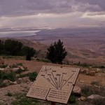
View from Mount Nebo (© Custodia Terrae Sanctae)

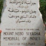
After 40 years leading the headstrong Israelites in the desert, Moses stood on the windswept summit of Mount Nebo and viewed the Promised Land of Canaan — after having been told by God “you shall not cross over there”.

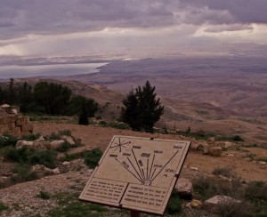
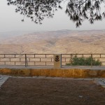
On a clear day, today’s pilgrims can see the panorama Moses viewed: The Dead Sea, the Jordan River valley, Jericho, Bethlehem and the distant hills of Jerusalem.

As Deuteronomy 34:5-6 recounts, Moses died there in the land of Moab “but no one knows his burial place to this day”. Moses did, however, eventually reach the Promised Land. He and Elijah were seen with Jesus at the latter’s Transfiguration (Luke 9:28-36).

Mount Nebo is now in western Jordan. At 820 metres high, it looks down 1220 metres on the nearby Dead Sea (which is about 400 metres below sea level).

Early Christians from Jerusalem made it a place of pilgrimage. In the 3rd or 4th century monks from Egypt built a small church on one of its peaks, Siyagha (a name meaning monastery), to commemorate the end of Moses’ life. By the end of the 4th century, an empty “tomb of Moses” was being shown to pilgrims on the mountain.


Pilgrim’s journal assisted excavation

Mount Nebo

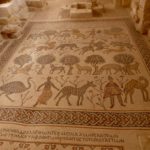
Floor mosaics in Mount Nebo Church (© Visitpalestine.ps)

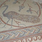
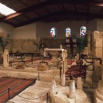
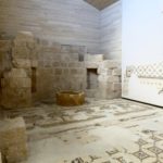
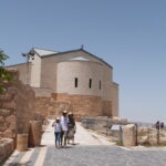
The monks’ church was expanded in the 5th and 6th centuries into a large basilica with a stunning collection of Byzantine mosaics and an elaborate baptistry. Though little remains of the early buildings, the mosaics can be seen inside the present-day shrine.

The main mosaic, about 9 metres by 3 metres, depicts monastic wine-making, hunters and various animals.

In the 1930s the Mount Nebo site was excavated, thanks largely to a description of it in the journal of an early woman pilgrim, Egeria, in AD 394. Six tombs were also found, hollowed into the rock beneath the basilica’s mosaic floor.

Mount Nebo

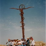
Pilgrims at Mount Nebo’s serpentine cross sculpture (Seetheholyland.net)

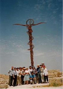
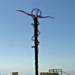
Outside the present-day shrine stands an enigmatic serpentine cross, the Brazen Serpent Monument. Created by Italian artist Giovanni Fantoni, it imaginatively merges the life-saving bronze serpent set up by Moses into the desert (Numbers 21:4-9) and the cross upon which Jesus was crucified.


Village with several churches

A less well-known site is at Khirbet al-Mukhayyat, a small town to the east, between Mount Nebo and Madaba. Here are the remains of the village of Nebo, mentioned twice in the Bible, where villagers in the 6th and 7th centuries constructed several churches.

On the highest point of the acropolis was the 6th-century Church of St George. The best-preserved floor mosaics are in the Church of Sts Lot and Procopius, who were venerated as martyrs.


In Scripture:

Moses on Mount Nebo: Deuteronomy 34:1-8

Transfiguration of Jesus: Luke 9:28-36

Administered by: Franciscan Custody of the Holy Land

Tel.: 962-5-325-2938

Open: 8am-5pm (4pm Oct-Mar)


References

Freeman-Grenville, G. S. P.: The Holy Land: A Pilgrim’s Guide to Israel, Jordan and the Sinai (Continuum Publishing, 1996)
Gonen, Rivka: Biblical Holy Places: An illustrated guide (Collier Macmillan, 1987)
Inman, Nick, and McDonald, Ferdie (eds): Jerusalem & the Holy Land (Eyewitness Travel Guide, Dorling Kindersley, 2007)
Piccirillo, M., Alliata, E. (ed.): Mount Nebo. New Archaeological Excavations 1967-1997 (Franciscan Printing Press, 1998)

External links
Mount Nebo (Custodia Terrae Sanctae)


« Newer PostsOlder Posts »

Mount Sinai

Egypt

Mount Sinai

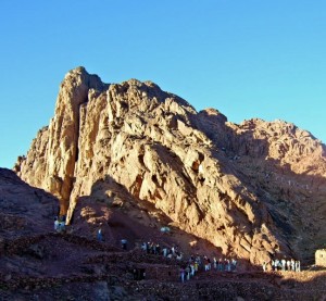
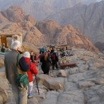
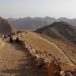
Pilgrims and tourists ascending Mount Sinai

Mount Sinai, a 2280-metre peak in the south of Egypt’s Sinai Peninsula, is venerated as the mountain on which Moses spoke with God and received the Ten Commandments.

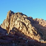
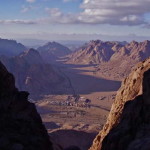
One of a collection of peaks in a red-granite mountain range that rises steeply from the plain, with spectacularly sheer slopes and deep valleys, it is not the highest mountain in the region.

But it may have been called Sinai (“mountain of God”) even before the time of Moses, and it has attracted pilgrims since the 4th century AD. In Arabic it is called Jebel Musa (“mountain of Moses”).

Near the foot of the mountain is St Catherine’s Monastery, built over the traditional site of the burning bush from which God called Moses to lead his people out of Egypt.

In the immediate area are several other sites associated with events in the book of Exodus, including the place where Moses struck the rock to produce water, and the Plain of Al-Raha where the Israelites camped and Aaron made the golden calf.

Identification dates to 4th century

Mount Sinai

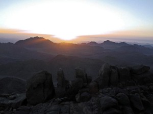
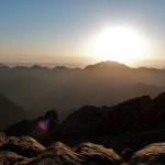
Dawn at Mount Sinai (© Custodia Terrae Sanctae)

At least a dozen different sites for Mount Sinai have been suggested — including mountains in the north and west of the Sinai Peninsula, in south Palestine, in Jordan and in Saudi Arabia.

Most modern authorities accept the identification of Mount Sinai with Jebel Musa, in line with a tradition dating back to the 4th century AD. This identification was recorded by the pilgrim Egeria who visited between 381 and 384. By then a Christian monastery was already established at the foot of the mountain.

By the end of the 4th century, hermits and small groups of monks from Egypt and Palestine had settled here. There was already a scatter of little churches and apparently already organised pilgrimages to the sites connected with Moses.

The Old Testament gives the “mountain of God” the names of Sinai and Horeb, but these references apparently apply to the same mountain.

Sunrise treks are popular

Mount Sinai

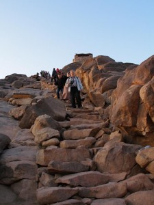
“Steps” to the summit of Mount Sinai (Seetheholyland.net)

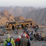
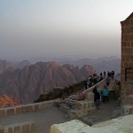
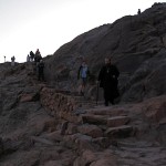
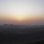
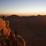
Seeing the sunrise from Mount Sinai is a popular activity for pilgrims and tourists, who often crowd the summit. A 2am start is advisable on either of the two routes to the top.

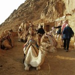
The steeper, more direct route climbs 3750 “Steps of Repentance”, said to have been cut into a steep rocky gorge by a monk as an act of penitence. The longer, less steep track may be ascended either on foot or by camel hired from Bedouin for most of the way, with the final 750 “steps” on foot.

At a gateway along the ascent is a small plateau and a cave where Elijah is believed to have waited for God to come to him in “a sound of sheer silence” (1 Kings 19:8-13).

On the summit is an Orthodox Chapel of the Holy Trinity, built in 1934 on ruins of a 4th-century Byzantine church. It is said to have been built over the rock from which God took the tablets of stone and its interior is decorated with frescoes of the life of Moses. Nearby is a 12th-century mosque. Both the chapel and the mosque are usually closed.

The spectacular view across a panorama of mountain peaks has been likened to “an ocean of petrified waves”.


Related site:

St Catherine’s Monastery

In Scripture:

Moses encounters God in the burning bush: Exodus 3:1-6

God gives Moses the Ten Commandments: Exodus 20:1-17

God gives Moses the tablets of stone: Exodus 31:18

Elijah waits in the cave: 1 Kings 19:8-13


References


Beitzel, Barry J.: Biblica, The Bible Atlas: A Social and Historical Journey Through the Lands of the Bible (Global Book Publishing, 2007)
Inman, Nick, and McDonald, Ferdie (eds): Jerusalem & the Holy Land (Eyewitness Travel Guide, Dorling Kindersley, 2007)
Freeman-Grenville, G. S. P.: The Holy Land: A Pilgrim’s Guide to Israel, Jordan and the Sinai (Continuum Publishing, 1996)
Gonen, Rivka: Biblical Holy Places: An illustrated guide (Collier Macmillan, 1987)
Rainey, Anson F., and Notley, R. Steven: The Sacred Bridge: Carta’s Atlas of the Biblical World (Carta, 2006)


External links
Welcome to Saint Katherine and the Sinai High Mountains (St-Katherine.net)
Mount Sinai and the Peak of Mount Musa or Mousa (Tour Egypt)
St. Catherine Monastery
« Newer PostsOlder Posts »
All content © 2022, See the Holy Land | Site by Ravlich Consulting & Mustard Seed
You are welcome to promote site content and images through your own
website or blog, but please refer to our Terms of Service | Login